














Map
Trincomalee Hotel Areas Map
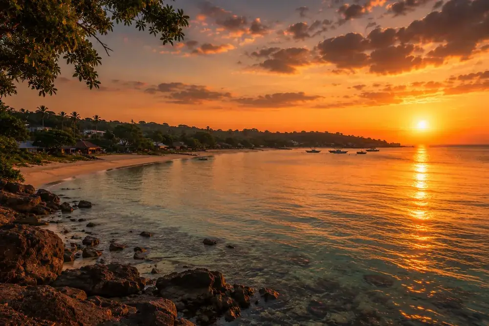
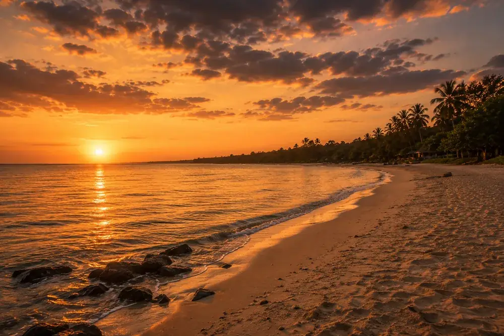
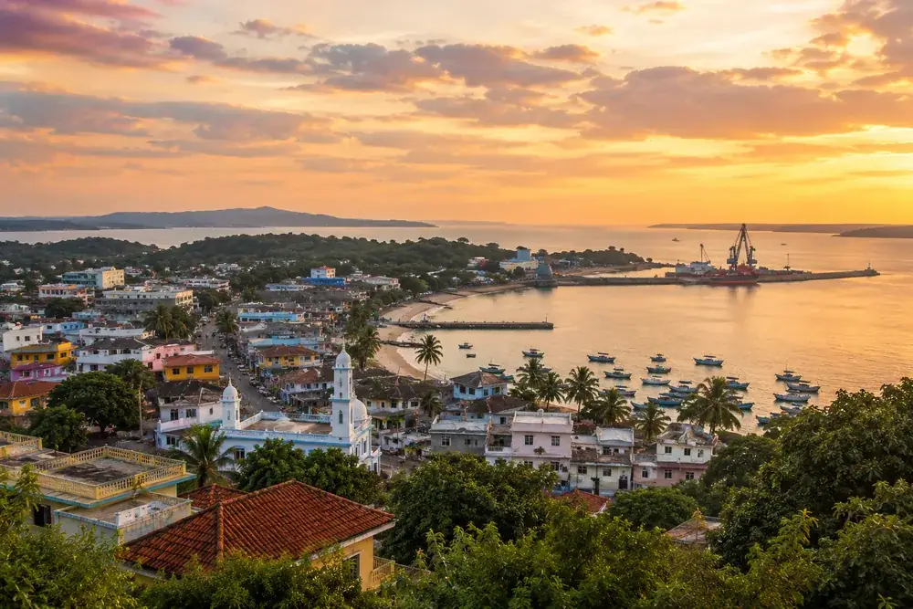
How the coast fits together, north to south: Kuchchaveli, Nilaveli with Pigeon Island offshore, Uppuveli, Trincomalee Town with Dutch Bay under the fort, and Marble Beach in the sheltered bay south of the harbor.
Distances and travel times
| Place | Distance | Travel time |
|---|---|---|
| Uppuvelifrom Trincomalee Town | about 6 km | 10 to 15 min |
| Nilavelifrom Trincomalee Town | about 16 km | 25 to 35 min |
| Kuchchavelifrom Trincomalee Town | about 30 km | 45 to 60 min |
| Marble Beachfrom Trincomalee Town | about 16 km | 25 to 35 min |
| Dutch Bayfrom Trincomalee Town | in town | walkable |
| Pigeon Islandfrom Nilaveli Beach | about 1 km offshore | short boat ride |
| Colombofrom Trincomalee Town | about 260 km | 5 to 6 hours by road |
Illustrative map, not to scale. Distances are honest approximations, checked July 2026.